ArcGIS GeoService
Dataset description:
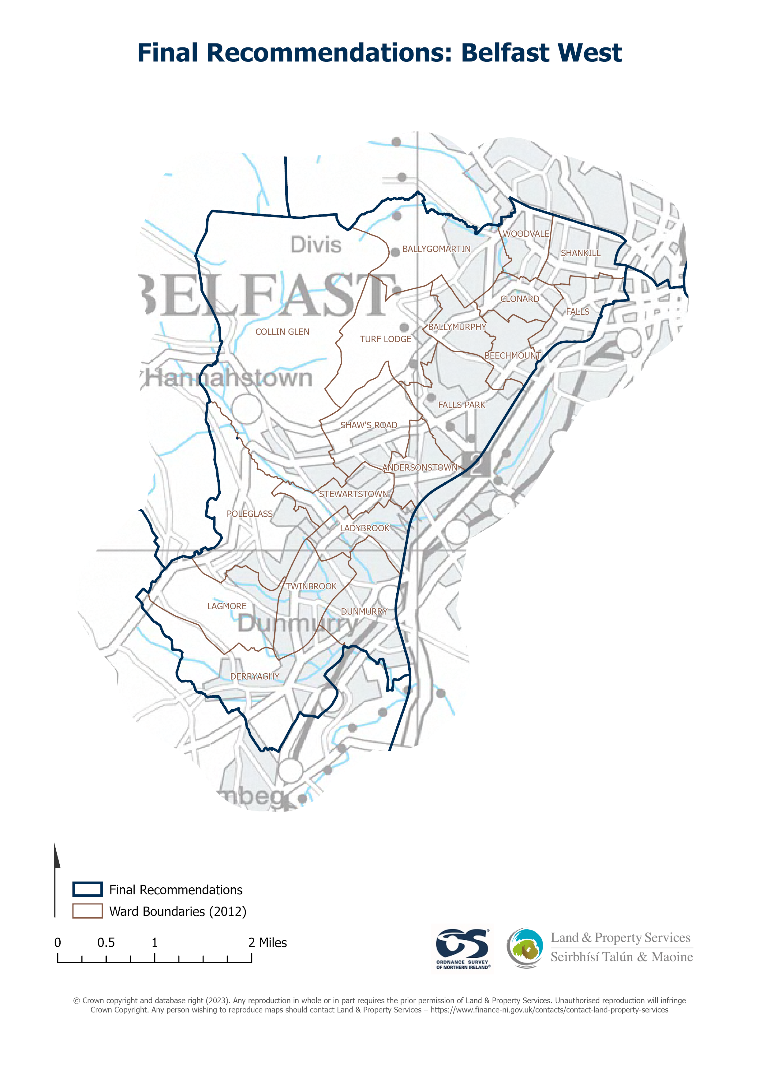
Raster download of Parliamentary Constituency 2023 of Belfast West. The OSNI Large-scale Parliamentary Constituencies boundaries is a dataset consisting of official boundaries as agreed...
Source: OSNI OpenData - Parliamentary Constituencies 2023 - Belfast West
There are no views created for this resource yet.
Additional Information
| Field | Value |
|---|---|
| Data last updated | 22 August 2025 |
| Metadata last updated | 27 August 2025 |
| Created | 22 August 2025 |
| Format | JSON |
| Licence | UK Open Government Licence (OGL) |
| Access url | https://docs.spatialni.gov.uk/OpenData/OSNIOpenData_ParliamentaryConstituencies2023/PC2023_Belfast_West.png |
| Datastore active | False |
| Distribution ref | N1bf63433fdbf4f19b4b667e3a91193ff |
| Has views | False |
| Id | b3ccd631-dddb-478c-ba94-e3d685542b04 |
| Mimetype | application/json |
| Package id | 677b9cdc-d4ae-4d38-a29e-33dc8c520d7d |
| Position | 1 |
| Requested | False |
| State | active |